


Product Details
+
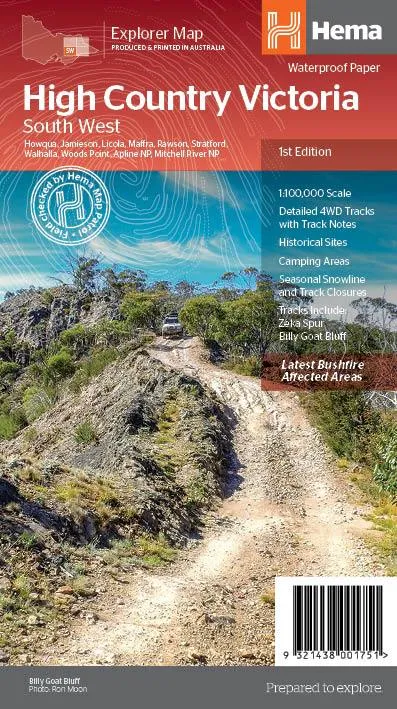
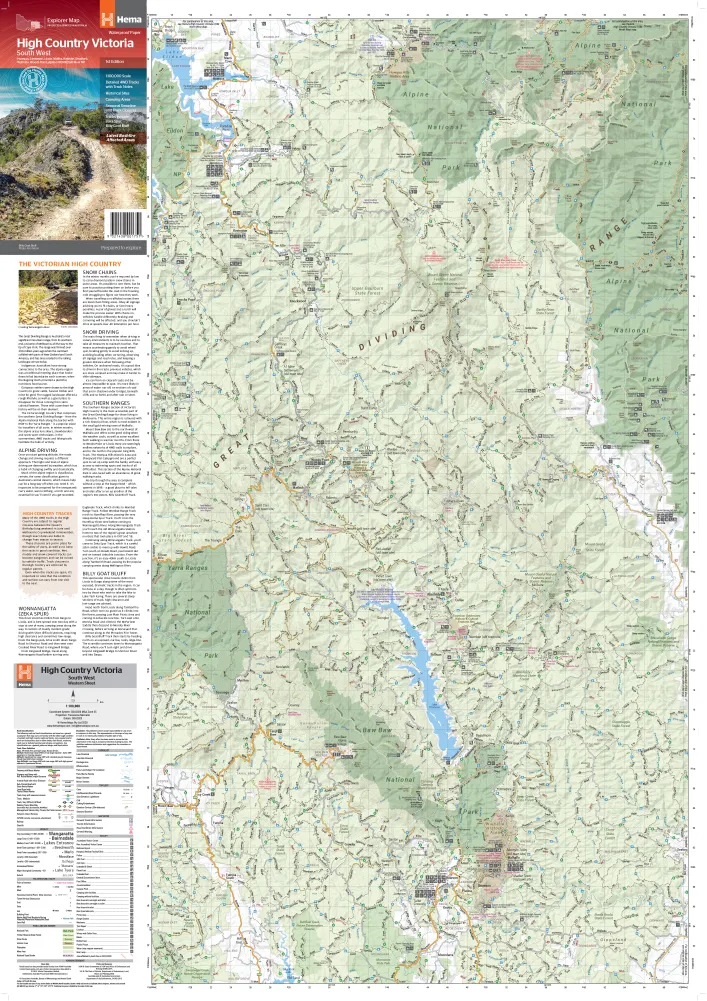
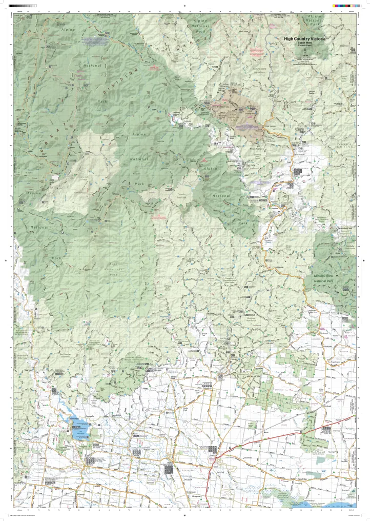
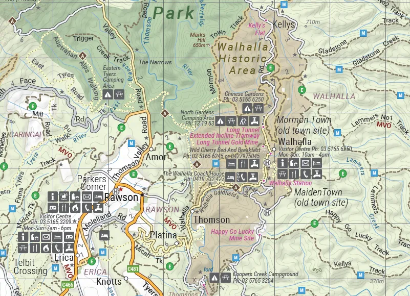
The Victorian High Country - South Western Map (1st edition) - this map is part of Hema's new Victorian High Country Map Series and covers the Southern Ranges Area including Baw Baw to Dargo and surrounds.
The simple highlight system makes it easy to identify tracks that are closed seasonally. This map offers detailed road and track distances as well as facility information, including fuel supplies. There's also a handy list of contact numbers for further information.
This map is printed on waterproof/tearproof paper.
This map features:
- 4WD tracks
- Huts
- Camping areas
- Old townsites
- Seasonal track closures
- GPS grid
- Road Distances
- Hiking trails
- Accommodation
This map is also available as a encapsulated in high-quality plastic.
Opened Size: 695 x 995 mm
Scale: 1:100,000


![ACT Clutch Kit Ford Mustang 3.7L V6 [] (2011-2017) Heavy Duty / Street Disc - FM6-HDSS](https://www.exploreyear.shop/image/act-clutch-kit-ford-mustang-37l-v6-2011-2017-heavy-duty-street-disc-fm6-hdss_cLeAxi_300x.webp "ACT Clutch Kit Ford Mustang 3.7L V6 [] (2011-2017) Heavy Duty / Street Disc - FM6-HDSS")


